Posts

Noland Creek to Site 64

Image
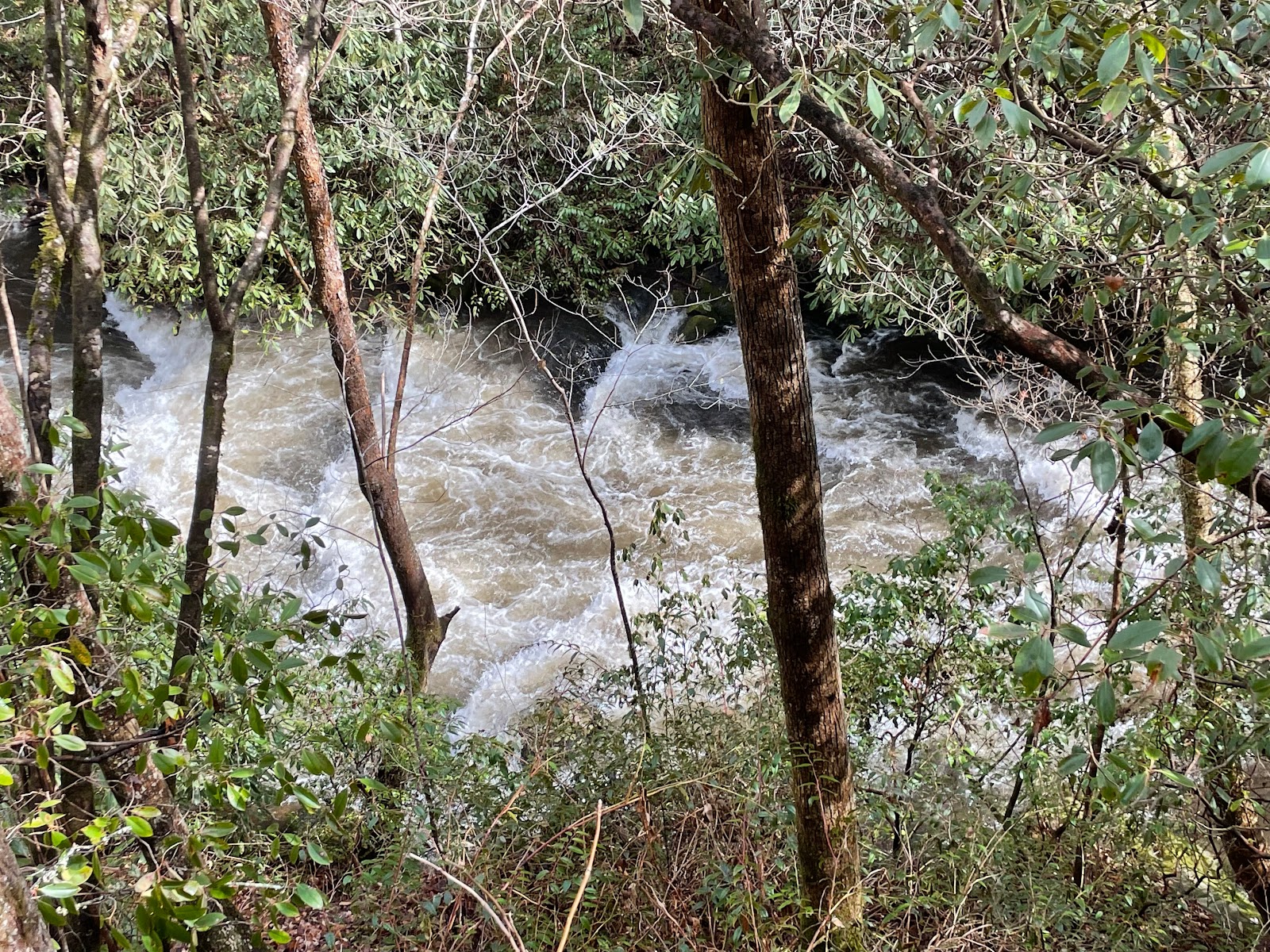
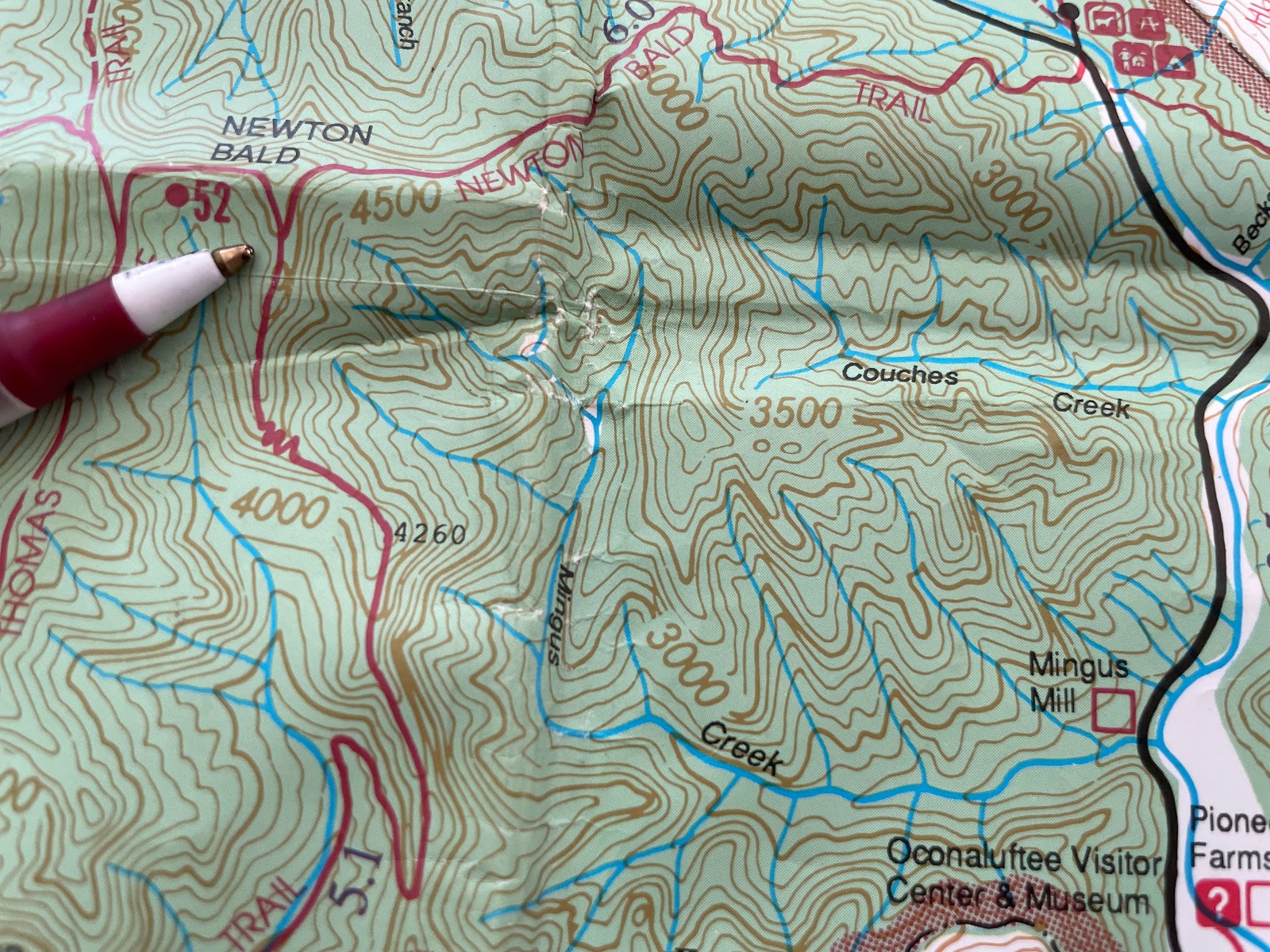
This Noland Creek Trail hike, scheduled for January 25, gradually climbs some 300 feet of elevation over 4.2 miles, to the planned lunch-site at the 3 picnic tables of campsite 64. This is a wide, easy-walking flat dirt/gravel roadbed still used by park ranger vehicles. As it was still raining heavily in the morning, those that made it did not depart until 10:45am. The rain event was good for about 1.25", which produced a very angry looking brown-watered overflowing creek as we started our hike. A half-mile before the gate that marks the end of the Road to Nowhere. and just before the sweeping curve of a bridge, is a parking lot on the left. Watch for the trail sign from which a path from the parking lot leads down and under the bridge to the main trail. This hike runs upstream to campsite 64, but following the trail downstream crosses some interesting bridges. It's a mile downstream to campsite 66 and then a bit further to end at a deep inlet where Noland Creek spills into th

Mingus Creek to Deeplow Gap

Image
The hike for Wednesday, January 18, 2023 hike left from the SMNP's Mingus Mill parking lot, and continued over 2.9 miles to Deeplow Gap, with elevation gain of 1873 ft over a 3 mile climb.

Smokemont's Bradley Fork Trail to Cabin Flat

Image
Google 3D Map  of lower loop trail Alltrails map to Cabin Flats (Click to enlarge any photo in enlarged click-thru slideshow mode.) A large group met at Poteet Park at 9 a.m., perhaps some 19 of us. The 2nd map above shows the route taken in our January 11 hike where we stopped at the fork in the trail, short of Cabin Flats, had lunch, then hiked back. The Oconaluftee elk herd (Cervus canadensis) was out in full force as we drove by the visitor center around 9:30 am. Along the trail we found sign of another regular in the park, coyote (Canis latrans). ----- ----- ----- Yes, we have left the edge of the empire, no cell phone access throughout this hike. Group hiking involves a great deal of consultation.  The horse mounting stand made a great lunch table. After a bit, the nice park benches appear, seemingly 2 per mile? Is this heading toward a manicured greenway? I didn't take a photo of them. At first a pleasant idea, they began to seem out of place to me. It's almost a bit of